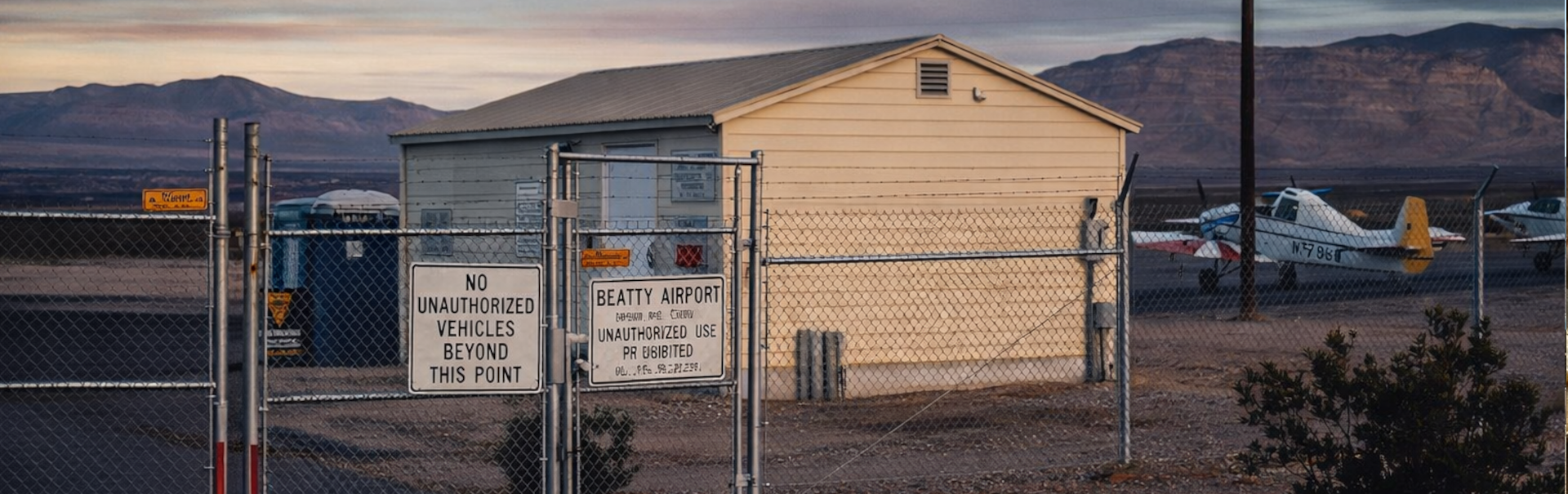
Beatty Airport
Flying Into Beatty
Beatty Airport serves the Town of Beatty and the surrounding southern Nevada desert region. This public-use airport provides general aviation access for pilots, visitors, emergency support, and travelers looking for a direct way into one of Nevada’s most unique gateway communities.
Located about 3 miles southwest of Beatty, the airport offers convenient access to local services, nearby highways, Death Valley National Park, Rhyolite Ghost Town, Goldwell Open Air Museum, and the wide-open desert landscapes that make this area so special. It is not a big-city airport, and that is exactly the point. Beatty Airport is simple, practical, and rooted in the kind of rural access that matters out here.
Diagram of Beatty Airport
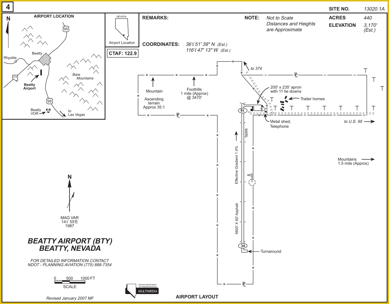
Runway 16/34
Beatty Airport has one asphalt runway, identified as Runway 16/34. The runway is listed as being in excellent condition, with basic markings in good condition.
Dimensions: 5600 x 60 ft. / 1707 x 18 m
Surface: Asphalt, in excellent condition
Single wheel: 15.0
Double wheel: 30.0
Runway edge lights: Medium intensity
Gradient: 1.5%
Traffic pattern: Left
Markings: Basic, in good condition
Runway end identifier lights: No
Additional Remarks
Runway 16 has terrain that rises at a constant rate of approximately 3:1 for 2 miles to the base of the mountain. Low flying military aircraft may operate in the vicinity of the airport.